Widespread Snow On Tap This Week Across New York
Hopefully, you will have a chance to get out and enjoy the nice weather today because things are going to take a turn for the worse starting on Wednesday.
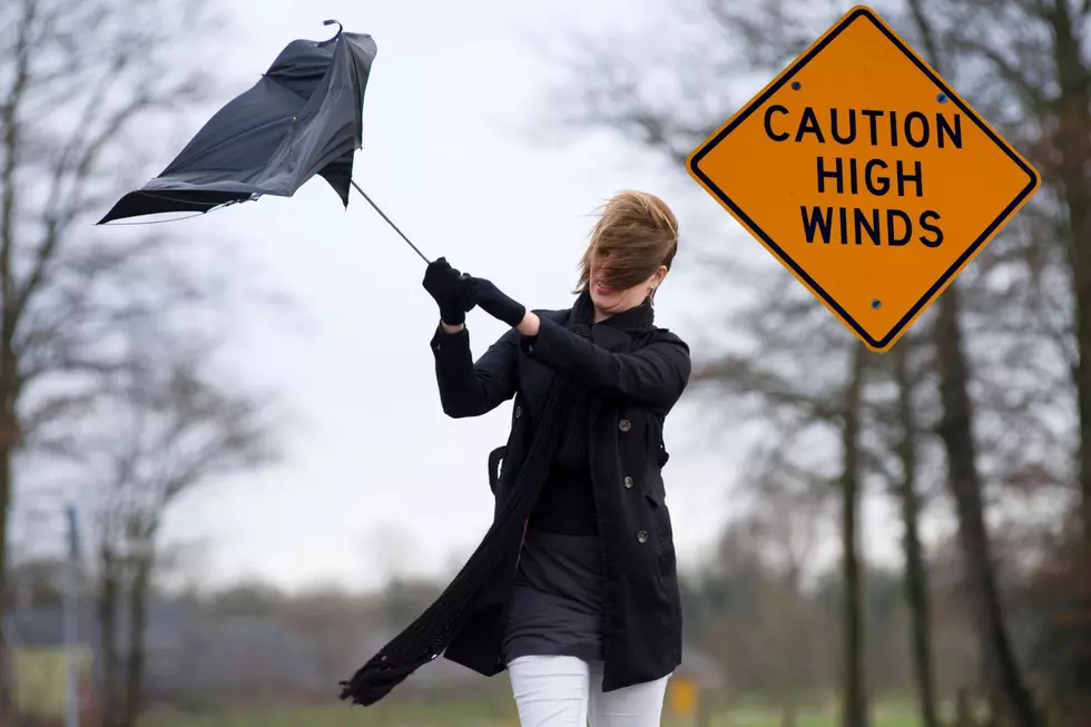
We are looking at a possible high temperatures today and tomorrow before a massive cold front moves in late on Wednesday and it will bring the cold, the rain, and the snow with it.
Feel Good Mornings With Dave Fields Mon-Fri 6am-10am
Today is expected to be the nicest day of the week with highs in the 60s. Tomorrow we could also reach the 60s but there will be rain and Wednesday night there will also be snow in parts of New York State.
While we are not expecting feet of snow, there could be enough snow to coat the ground in some areas of New York. Also, we will see a 40-degree drop in our high temperatures from Wednesday into Thursday.

The good news is that it looks like the cold front is small and moving quick and we should be back to average temperatures by Friday and heading into the weekend.
So get out and enjoy the day today if you can.
New York State's Top 5 Hottest Days
Gallery Credit: Dave Fields
5 Snowiest Days In New York State History
Gallery Credit: Dave fields
New Laws That Start In 2024 In New York State
Gallery Credit: Dave Fields
More From The New 96.1 WTSS