The First Batch of Lake Effect Snow For Western New York Is On The Way
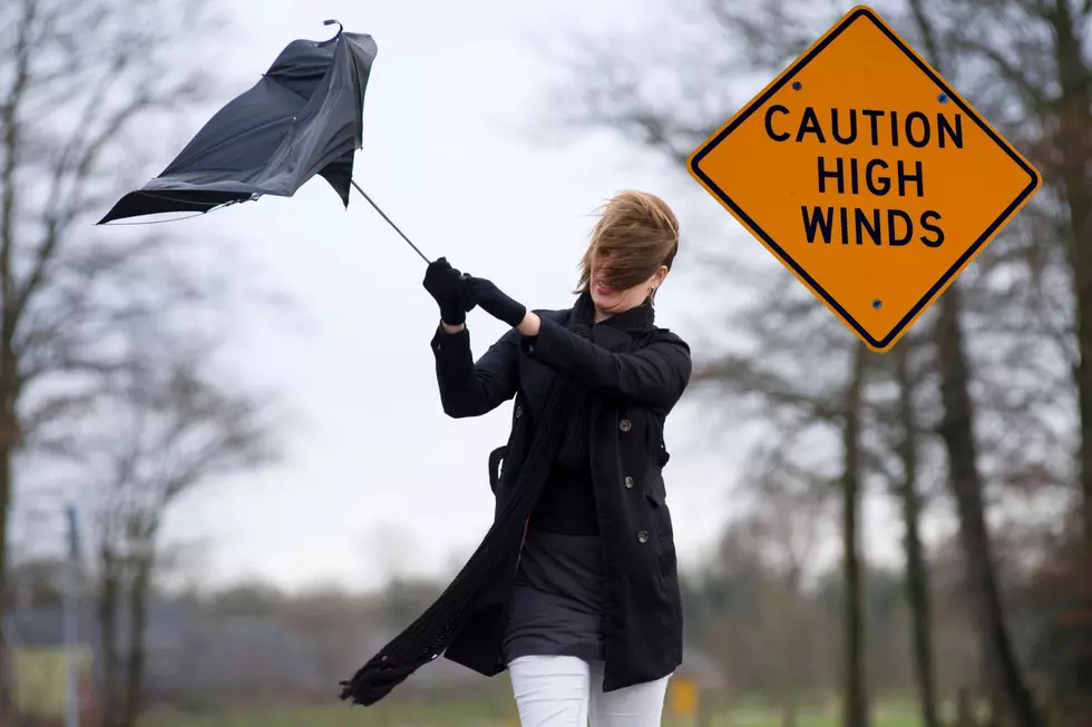
Wasn't that nice, temperatures in the 60s on Tuesday throughout Western New York? Well, that's coming to an end soon. The National Weather Service is talking “Lake-Effect Snow” starting Thursday night, mostly in the south-towns.
Temperatures will be falling throughout the day today as some of the coldest weather of fall arrives here Thursday and Friday. The official NOAA forecast For Jamestown NY , where it's expected to be the worst says:
LAKE EFFECT SNOW ADVISORY IN EFFECT FROM 3 AM TO 4 PM EST THURSDAY... THE NATIONAL WEATHER SERVICE IN BUFFALO HAS ISSUED A LAKE EFFECT SNOW ADVISORY...WHICH IS IN EFFECT FROM 3 AM TO 4 PM EST THURSDAY.
* LOCATIONS...SOUTHERN ERIE...WYOMING...CHAUTAUQUA...AND
CATTARAUGUS COUNTIES. GREATEST AMOUNTS EXPECTED FROM THE BOSTON
HILLS AND WESTERN WYOMING COUNTY SOUTH ALONG THE CHAUTAUQUA
RIDGE.
So fire up the snow-thrower and blow the dust off the shovels...you may need them.
[NOAA]
More From The New 96.1 WTSS