Easily Find Beautiful Leaves With The NY Foliage Map
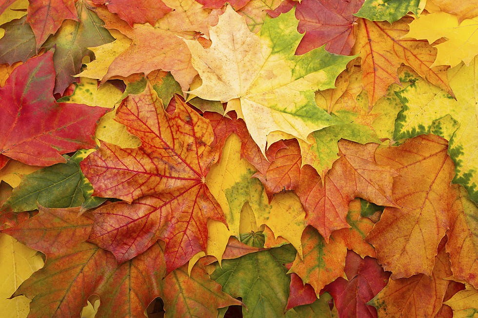
Fall is upon us and that means flannel shirts, warm drinks, and vibrant colorful leaves. But where should you go to see the best of them in the state?
Find where they will be in peak season with the New York State Fall Foliage Map.
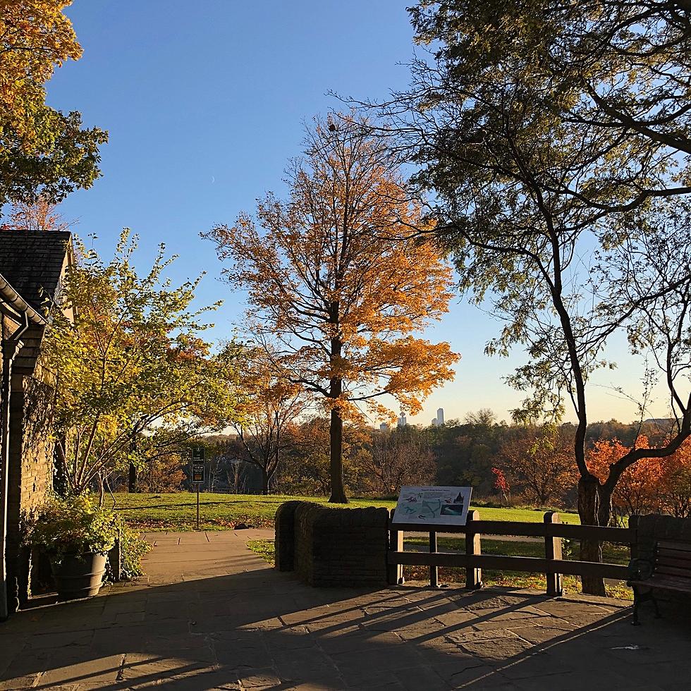
It really is one of the best parts of living in Western New York. The leaves in the fall really are something incredible to look at. From picturesque backdrops to long drives through the country, people love fall leaves (unless they have to rake them up).
There are a couple of different maps that you can check out. The first is a national map that will show you what the leaves will be like across the country from now through the middle of November. While they admit that no tool like this can be 100% accurate, it's meant more to help you have the best opportunity of catching peak color each year. You can even change the date to see further down the road where the leaves will be changing.
That one says that we should be in peak season or at least partially in peak season by October 4th.
Then there's also the New York Foliage Guide. That one is specific to New York State and will be updated as the season progresses. At this point, it shows little to no change so far this season. There is a little change in the Adirondacks and the Catskills, but aside from that, it's very little.
If you're planning on taking a road trip sometime this fall, they even provide stops where you might want to stay a little longer to check out some of the sites on the I Love NY website.
We always love to see what the leaves look like in your neck of the woods too! If you've got a great picture, we'd love if you'd share it with us through our app!
13 Things Buffalonians Got REALLY Hyped For
15 Photos of Buffalo's Japanese Gardens in Cherry Blossom Season
13 Things That Should Be In Every Welcome To Buffalo Gift Basket
Best Places To Watch Sunsets In WNY
More From The New 96.1 WTSS