Today And Tomorrow More Like Winter Than Spring In WNY
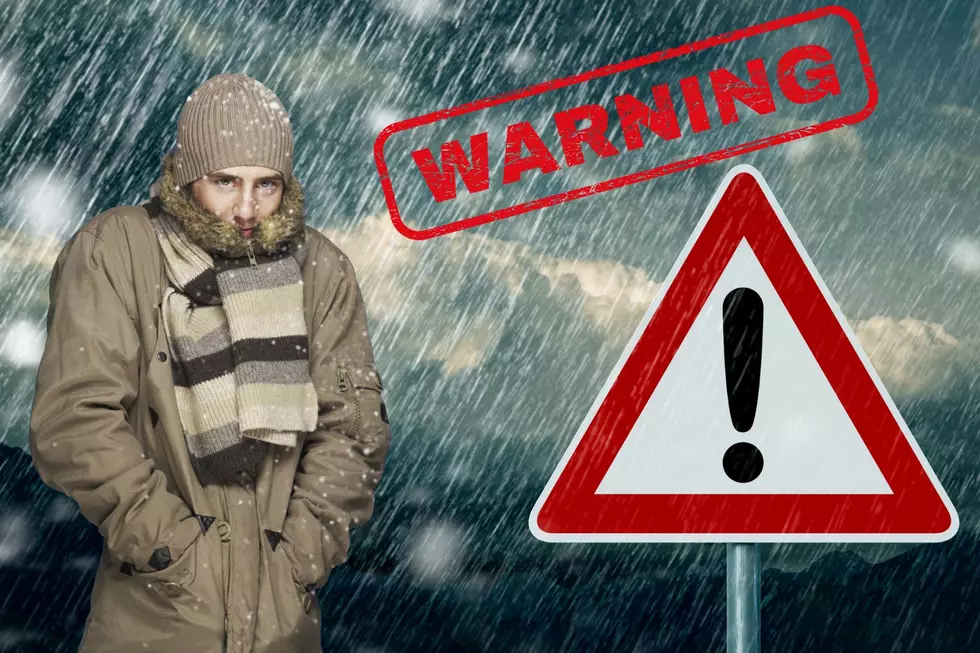
Freeze warning until 9 am Friday for all WNY counties except Allegany and Cattaraugus.

The meteorologist at News 4, WIVB tell us...Today will start off like today with lots of sunshine ahead of increasing clouds. We may find a few mixed, light rain and snow showers by afternoon with no real chance for any of the snow sticking at least in the Metro area.
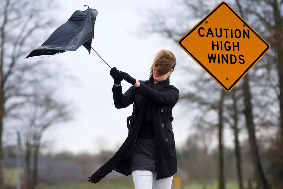
Saturday cold air is likely to bring a few more widespread snow showers and winds gusting upwards of 40mph. This will lead to squalls around our area as well. Any accumulation should be limited to a dusting around lower elevations and up to around 0.5″ for higher hilltops.
Mother's Day is looking much quieter and mostly dry aside from a few spotty, late afternoon mixed showers well south of Buffalo. Much of next week will continue to bring below-average temperatures with some improvement showing up toward weeks end.
The 4 Warn Forecast:
FRIDAY: Unseasonably Cold, Brisk Breeze, Some Morning Sun, a few Spotty Afternoon Mixed Rain/Snow Showers, High: 44.
SATURDAY: Biting Wind Chill, After some breaks of AM Sun, Squally Snow Showers develop by afternoon, focused south of Buffalo, High: 40
SUNDAY (MOTHER’S DAY) : Partly Sunny, Still Quite Cold, Mainly Dry, High: 47
So put away the iced tea and bring out the hot chocolate.
13 Pictures That Show Just How Crazy and Loyal Buffalo Bills Fans Are
More From The New 96.1 WTSS