Threat Of Floods, Watch Issued For Many Counties In New York State
Severe weather could bring flooding across parts of New York State according to the National Weather Service. A flood watch was issued on Wednesday, June 22, 2022, and will remain in effect until 1 am on Thursday, June 23.
Isn't it nice to be welcomed to the first full day of summer with a threat of severe weather?
A band of thunderstorms will setup with heavy rainfall. Areas seeing multiple thunderstorms may expect 1-3 inches of rain with locally higher amounts to 5 inches that could lead to localized flash flooding.
The watch was issued for central New York, including Chemung, Schuyler, Seneca, Southern Cayuga, Steuben, Tioga, Tompkins and Yates counties.
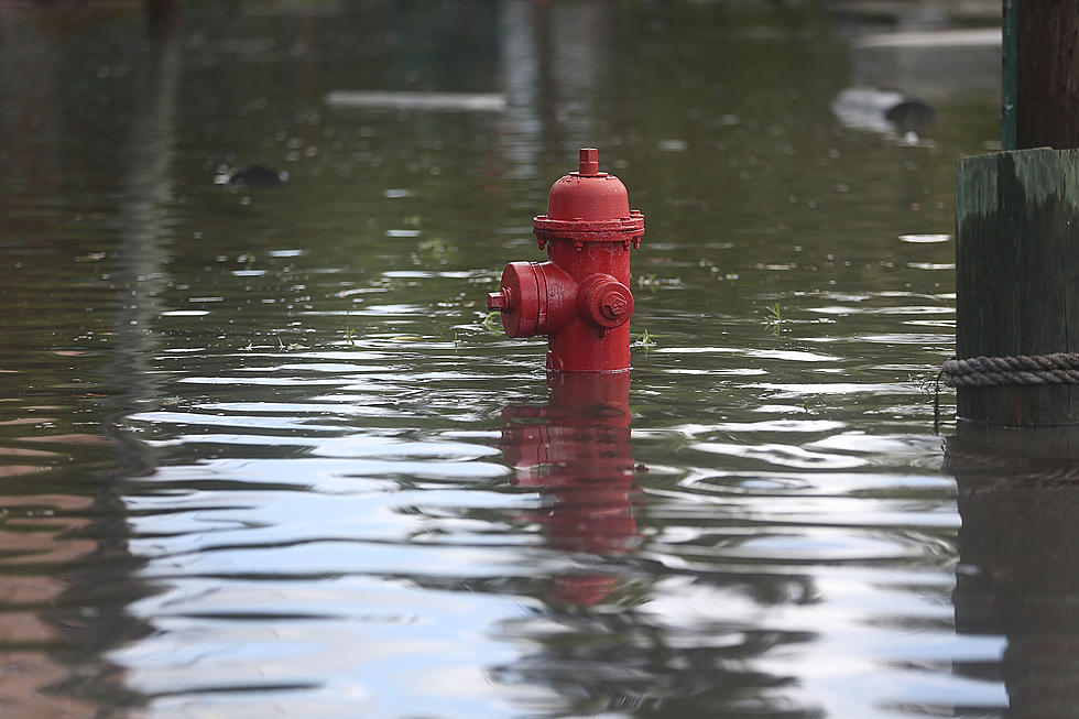
Excessive runoff may result in flooding of rivers, creeks, streams, and other low-lying and flood-prone locations. Creeks and streams may rise out of their banks. Flooding may occur in poor drainage and urban areas.
While a 'watch' is currently in effect, residents should monitor the situation, in case it changes to a warning.
A flood watch was also issued today for the Western New York Counties of Ontario and Wayne.
Flooding caused by excessive rainfall continues to be possible.
Excessive rain may cause flooding of rivers, streams, creeks, and low-lying and flood-prone areas. The watch is in effect until late tonight.
Slow moving thunderstorms producing very heavy rainfall are expected to develop this afternoon over the watch area. Areas seeing multiple rounds of thunderstorms will see 1 to 3 inches of rain. Locally higher amounts are possible.

Top 5 Crimes Committed in New York
This Is The Poorest County In New York State
Top 5 Drugs Busted in New York State
More From The New 96.1 WTSS