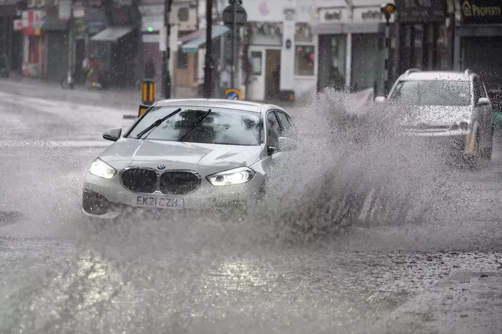
Rain And Possibly A Lot Of It On Tap For WNY Saturday
The Winter That Almost Wasn't continues in WNY with temperatures close to 60 this Saturday...but it's not all good news.

The News 4 Weather Team tells us...
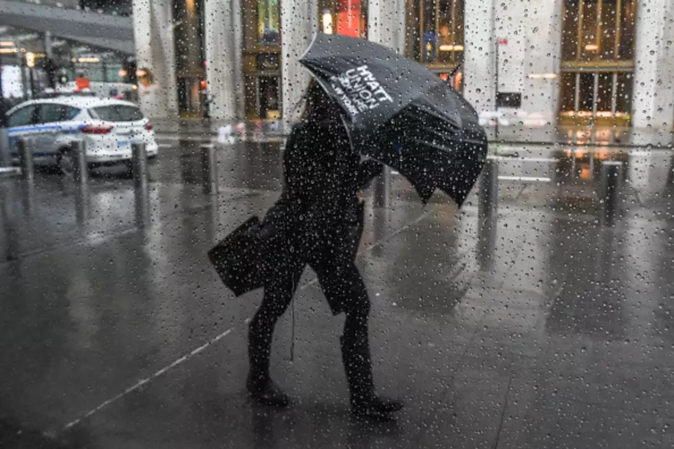
After a very cold Thursday, readings really bounce back late week in advance of a tricky weekend storm. It becomes breezier into Friday. At this point, is looks as through rain showers will impact the region Friday and Saturday arriving after midnight, with showers becoming more likely during the day Friday, however most of them should be light.
Rainfall will increase Saturday night...at this point it appears the heaviest should remain just west and north of Western New York Saturday reducing our chances of flooding rainfall,
...However should the heaviest rain end up a bit father south, we could have some localized flood issues. As colder air starts to drain into the region by Sunday, leftover precipitation will wind down as a few mixed rain and snow showers later Sunday morning.
FRIDAY: Rain Showers, Breezy, Warmer, High: 45-50, Wind: SSW 15-20 Gusting to 30 mph
...FLOOD WATCH IN EFFECT FOR ALL OF WNY EXCEPT ALLEGANY COUNTY FROM 1 PM SATURDAY TILL 1 PM SUNDAY...
SATURDAY: Rain Showers, the Rain could become heavier and steadier for a while Saturday night, especially across the Niagara Frontier, High: 55. Rain totals between 1.5 to 2.5 inches are possible for portions of WNY and the Niagara Frontier.
SUNDAY: Windy, Turning Cooler, A few mixed Rain/Snow showers ending by afternoon, Early High: 50, temps drop to freezing toward evening.
MONDAY: Partly to Mostly Cloudy, High: 35.
More From The New 96.1 WTSS