It Could Reach 70 Degrees In Buffalo Today
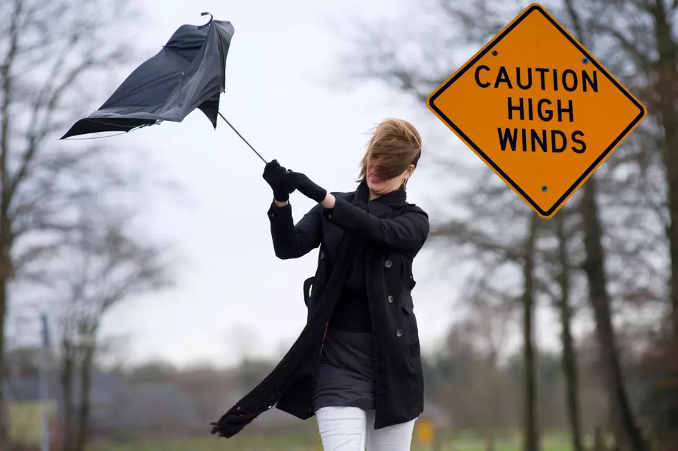
WIVB-TV Meteorologist Mike Cejka tells us there will be a window for rain showers early today with some of that rain lasting through about mid-morning. As we approach lunchtime much of WNY should see a nice break in the rain with a few breaks also possible in the cloud cover. Winds will pick up out of the SE, which will help boost temperatures at the lower elevations to nearly 70, though it will be gusty with gusts to 35mph up around Buffalo and gusts to 40 mph possible across the southern hills.

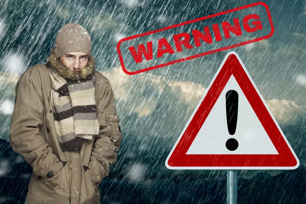
Rain coverage will again begin to expand across our area into the evening hours with a rumble of thunder possible as a warm front nears WNY. This system is likely to then bring widespread showers overnight into much of Thursday with a few breaks from time to time.
Right now, the weekend looks pretty nice.
WEDNESDAY: Quite Warm, and Very Windy, few Scattered Mainly Morning Showers, Lots of Dry Time for the afternoon with Sunny Breaks, High: 63-70.
THURSDAY: Morning Rain with some heavy Downpours, Rumble of Thunder, tapering to Showers for the afternoon, High: 60.
FRIDAY: Lingering Cloudiness and a few Rain Showers, High: 52.
SATURDAY: Partly Sunny, High: 60.
SUNDAY: A little Cloudier, Chance of a shower mainly well south of Buffalo, High: 62,
Revel in Spring for now...next week could bring a surprise.
10 Old Fisher Price Toys That Are a Blast From The Past
More From The New 96.1 WTSS