Heavy Rain Dampens Saturday, Fall-Like For Sunday
The Meteorologists at News 4 (WIVB-TV) tell us that Friday portions of WNY will see chances for scattered thunderstorms mainly from the afternoon into the evening. This will be the leading edge of the widespread soaking rain threat to the start of the weekend.

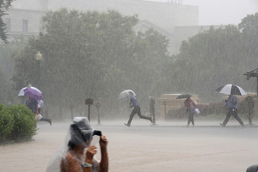
Much of WNY can still expect 1″ to upwards of 2″ worth of rain from this evening through the first half of the weekend. Some localized flash flooding will remain possible.
Sunday into Monday drier air and more sunshine with more fall-like temperatures. September arrives Tuesday and as we approach mid-week the afternoon thunderstorm threat increases as temperatures start to creep back up toward the 80-degree range.
(As we enter September in Western New York, it might be interesting to point out that the average high-temperature is 71 and the average low-temperature is 53, quite the departure from the hot Summer that has graced our area.)
FRIDAY: Partial Morning Sun, Clouds for the Afternoon, Humid, a Shower or Thunderstorm south of Buffalo, High: 74-79, Showers, thunderstorms increase across the area overnight, with soaking heavy downpours at times, flash flooding possible, Low: 65
SATURDAY: Showers, Thunderstorms with Heavy Downpours, rain tapers late in the day, High: 76
SUNDAY: Cool, Less Humid, Partial Sunshine, Chance of a Sprinkle, High: 71
MONDAY: Sunny, High: 75
TUESDAY: Partly Sunny, Chance of an afternoon Thundershower High: 78
WEDNESDAY: Partly Sunny, Chance of an afternoon shower or storm, High: 77
THURSDAY: Mostly Cloudy, Scattered Showers, Thunderstorms may mix in, High: 76
The Best Places To Live In Western New York
More From The New 96.1 WTSS