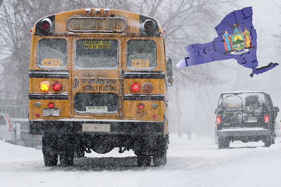
Colder Air And Some Snow For Tuesday and Wednesday
Cold temperatures and some snow on the way for portions of Western New York this week before Christmas.
Winter Weather Advisories in effect for Wyoming, Southern Erie, Chautauqua, Cattaraugus, and Allegany counties from 11 pm Monday evening until 4 pm Tuesday…
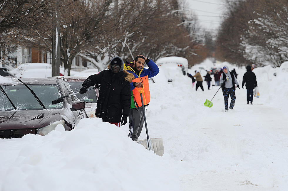
Snow is predicted to build northward, reaching the city toward 5 am in this morning. Overnight, expect a dusting-1″ in the lower terrain near the Buffalo-Batavia corridor, and 1-3″ around the Southern Tier hilltops. Temperatures will topple into the low to mid-20s across WNY.
Periods of light snow will move into the rest of the region by early Tuesday and continue during the day. Snow reaches Buffalo by the start of the morning commute, making the drive a bit slower than usual so give yourself extra time. Additional accumulations should be around 1-2″ near the metro and the Niagara Frontier. Total snowfall amounts toward the Southern Tier will be between 3-6″ through Tuesday afternoon as they will see the longest duration of snow.
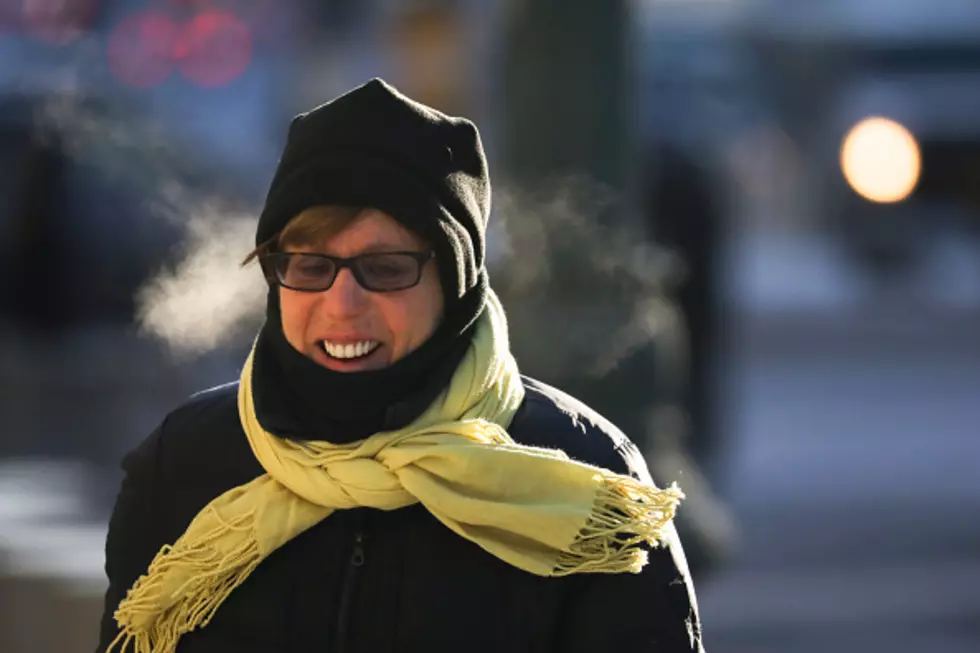
Colder air enters the region Tuesday night into Wednesday bringing lake effect snow showers which could briefly impact metro Buffalo. That lake effect snow quickly surges southwestward toward Chautauqua and Cattaraugus counties, and there may be some streamers off Lake Ontario to the north as well into Wednesday. Elevated winds will allow wind chill values to range below zero into Wednesday evening. Temperatures will start to rebound near average towards the end of the week and into the upcoming weekend along with a dry stretch of weather.
TUESDAY: Periods of Mainly Light Snow, around 1″ metro-northward, additional 2-3″ south, Wind: Light N/NW, W 5-12 mph late, High: 32-36. Scattered Snow Showers, possibly a brief hit of Lake Snow in the metro before shifting rapidly southward by morning, Low: 23
WEDNESDAY: Windy, Turning Bitterly Cold PM, Scattered Snow Showers, Localized Lake Snow southwest, and perhaps north of Buffalo off Lake Ontario, Early High: 24, Low: 10
The prospects for fresh snow and a White Christmas have dimmed a bit with that extended period of drier weather arriving this weekend. Stay tuned.
More From The New 96.1 WTSS