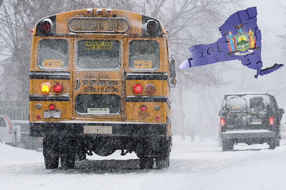
Are We Finished With Snow For Awhile?
The 4-Warn Meteorologists at WIVB are watching closely to see if March is going to come in like a lion.
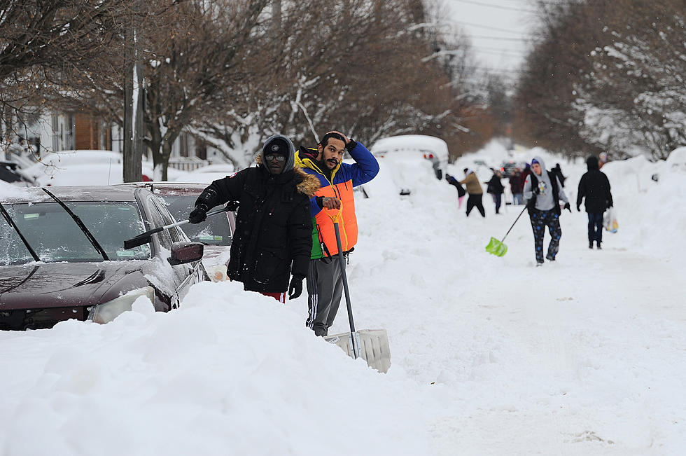
It looks like today will be the mildest of the next few with some sun and temperatures in the 30s. Maybe an inch of snow for Saturday...but Sunday...brings another developing storm. The track of this storm is still uncertain as well amount of snow it can bring to WNY. It appears that the southeastern portions of WNY are more likely to see significant accumulations.
Preliminary snowfall estimates Sunday evening through Monday run in the 3-5" range north, and 5-9" south and east, but these numbers will likely have to be tweaked in the coming days.
More cold air on the way for the beginning of next week with temperatures in the 10s and 20s, and even some localized lake effect snow at times. The 4 Warn Forecast the second half of the week looks more promising with temperatures expected to rebound into next weekend.
UPDATE: It appears the storm as of Sunday has moved well to our east leaving little impact on WNY, but Storm Warnings for the NYC area.
More From The New 96.1 WTSS